Southeast Queensland is bracing for potentially severe thunderstorms this week after the region experienced an unusually dry September.
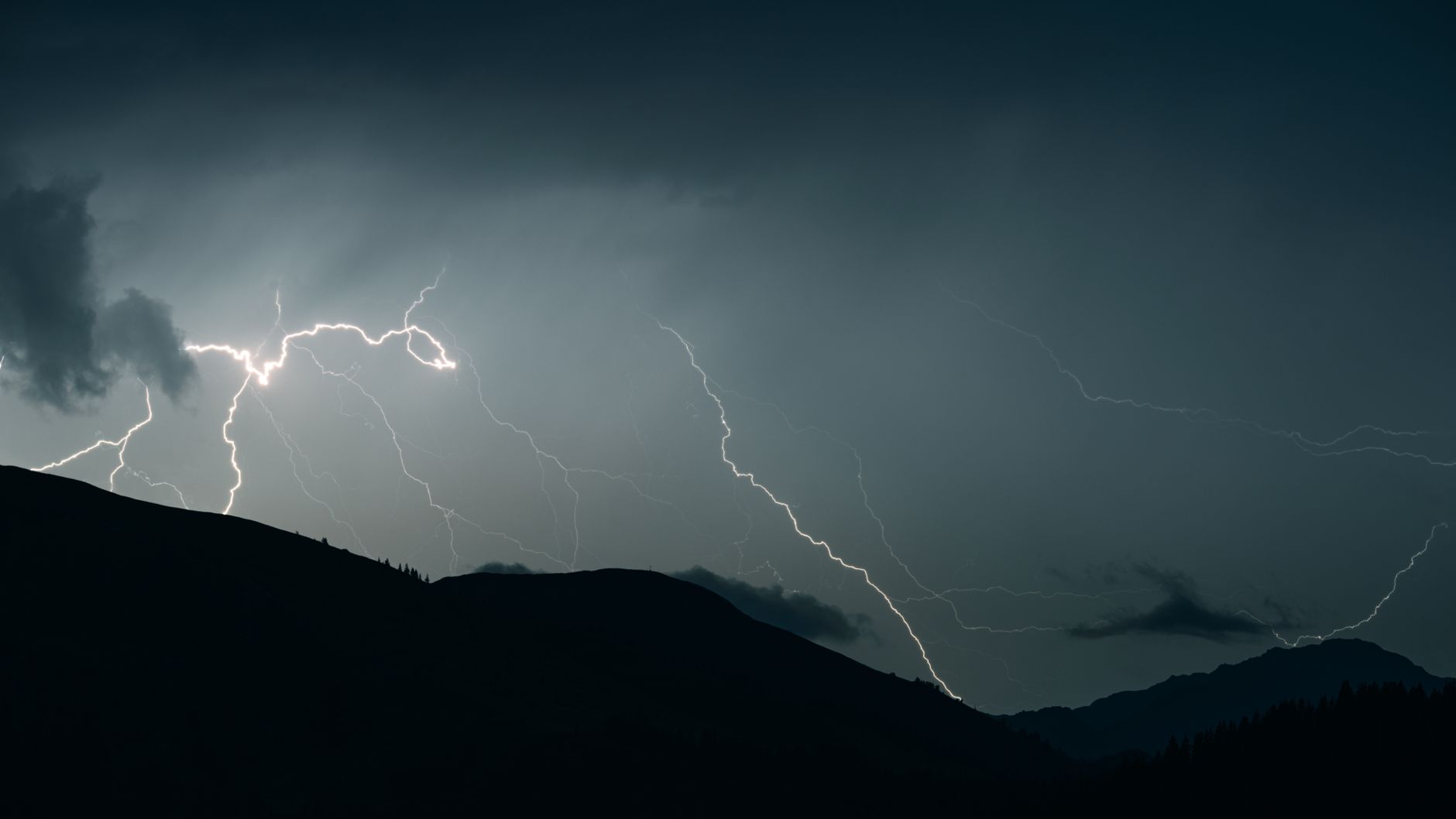
The Bureau of Meteorology has warned that Tuesday could bring the first significant outbreak of severe spring storms across parts of the region. Large hail, damaging winds and heavy rainfall are among the risks.
The potential storm zone stretches across parts of southeast Queensland, including areas around Brisbane, the Gold Coast, the Sunshine Coast and the Darling Downs. The exact intensity of the storms will vary from one location to another.
The warning comes after Brisbane recorded just 1.4 millimetres of rain during September. The city’s normal September rainfall is about 29 millimetres, highlighting how unusually dry the month was.
Meteorologists said the return of storm activity is typical for this time of year. Spring is generally Queensland’s peak thunderstorm season, but September remained unusually quiet and settled.
The Bureau said there is also a possibility of heavy rainfall causing flash flooding in some areas if storms become intense.
Northern Queensland has experienced a very different pattern. Parts of the region received between 150 and 250 millimetres of rain during September, showing the sharp contrast in conditions across the state.
Forecasters are also watching the development of El Niño, which can contribute to hotter and drier conditions across eastern Australia.
However, the Bureau’s longer-range outlook does not currently point to a prolonged drought across Queensland. Rainfall between October and December is expected to be closer to or above average in some areas.
Residents in areas affected by the storm forecast have been urged to keep an eye on updated weather warnings as conditions can change quickly during severe spring thunderstorms.